
ForestInsight™
Comprehensive forest surveying, environmental intelligence, and Digital Twins for better planning and decision-making.
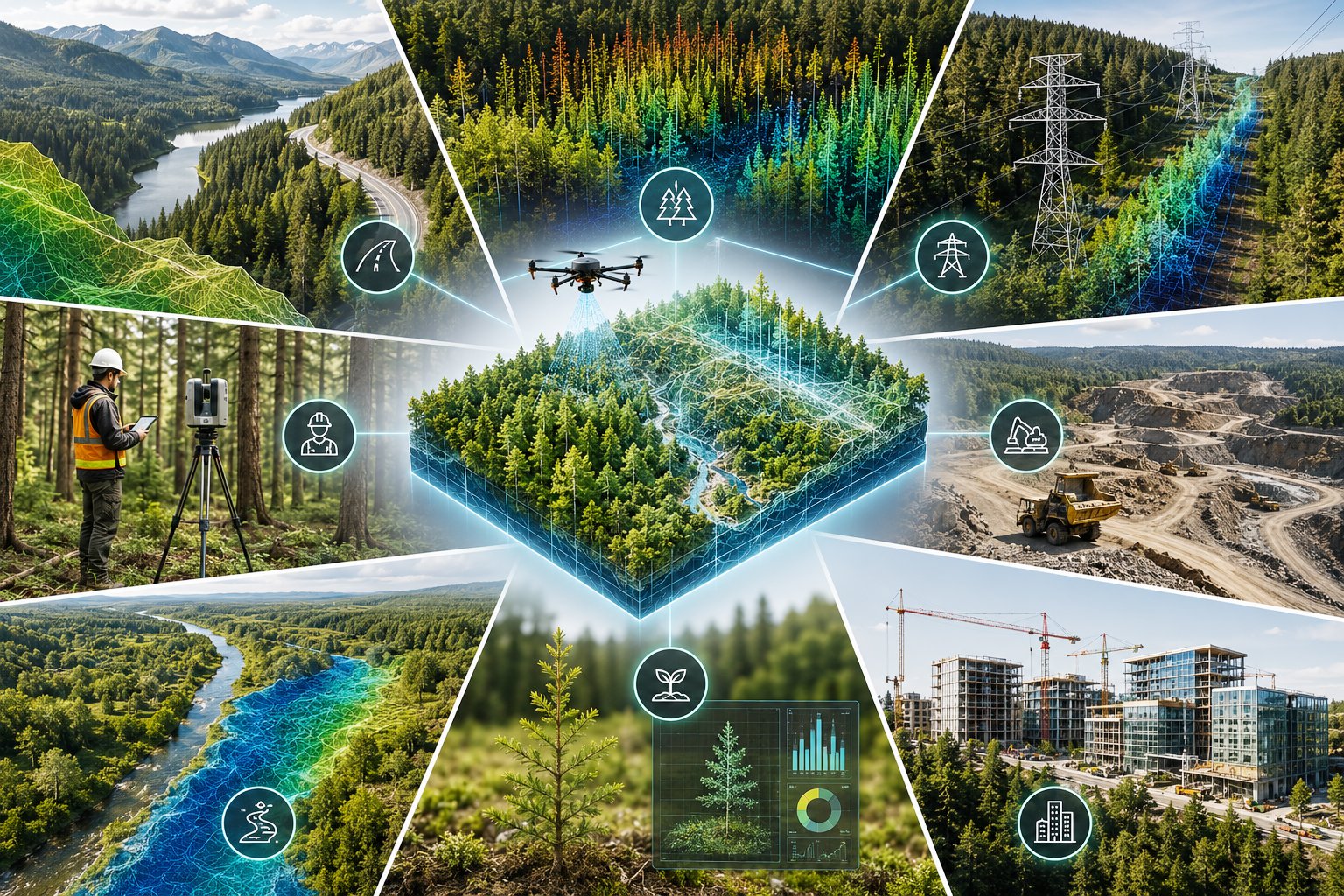
ISTARI delivers end-to-end forest surveying, environmental impact assessment, and digital intelligence by combining advanced LiDAR, drone mapping, AI analytics, and Digital Twin technology. From data capture to engineering-grade deliverables, we provide a complete workflow that enables organizations to survey larger areas faster, assess environmental conditions and project impacts, reduce fieldwork, improve decision-making, and build continuously updated digital records of natural assets.
Applications
Forest inventory and resource management
Environmental impact assessments (EIA)
Utility vegetation management
Transportation corridor planning
Conservation and restoration projects
National parks and protected areas
Watershed monitoring
Mining and environmental permitting
Construction environmental compliance
Discover how municipalities, infrastructure owners, and engineering teams can gain deeper insight into their assets through intelligent digital solutions. Speak with our specialists and schedule a personalized demonstration.