
Advanced Underground Infrastructure Intelligence
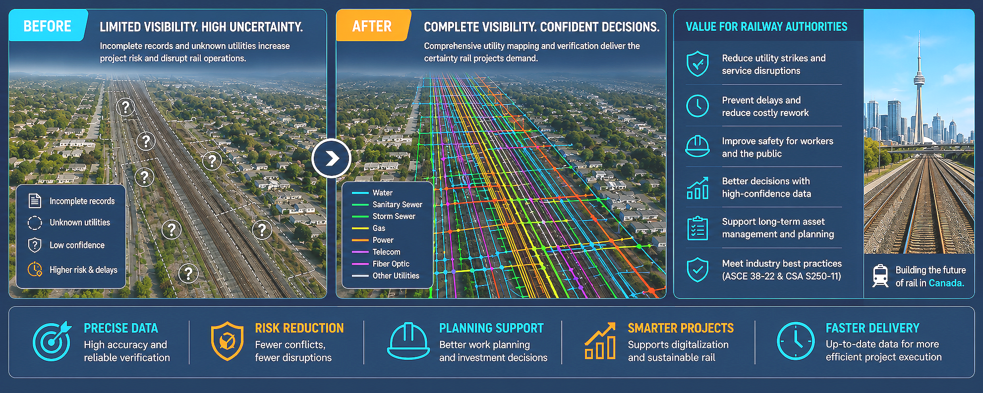
SubsurfaceIQ™ provides complete visibility into underground infrastructure by combining advanced sensing technologies, geospatial intelligence, and AI-powered analysis. The platform locates, maps, and models buried assets such as water, sewer, gas, power, telecommunications, and fiber networks, transforming hidden infrastructure into accurate digital intelligence.
Multi-Sensor Detection and Mapping
Using a combination of Ground Penetrating Radar (GPR), electromagnetic locating, GPS surveying, GIS integration, and other detection technologies, SubsurfaceIQ delivers highly accurate utility mapping and verification. By fusing multiple data sources, the platform reduces uncertainty and provides a more complete understanding of subsurface conditions than traditional utility surveys, helping organizations make better decisions before construction begins.
Proven Global Deployment
The methodology behind SubsurfaceIQ has been applied internationally across transportation, utility, energy, and municipal infrastructure projects. Similar deployments have supported railway corridors, water and sewer networks, utility mapping initiatives, and leak detection programs in the Netherlands, Cyprus, Brazil, Ethiopia, Angola, Uzbekistan, and Kazakhstan, demonstrating the adaptability of the approach across diverse infrastructure environments.
Construction-Ready Digital Deliverables
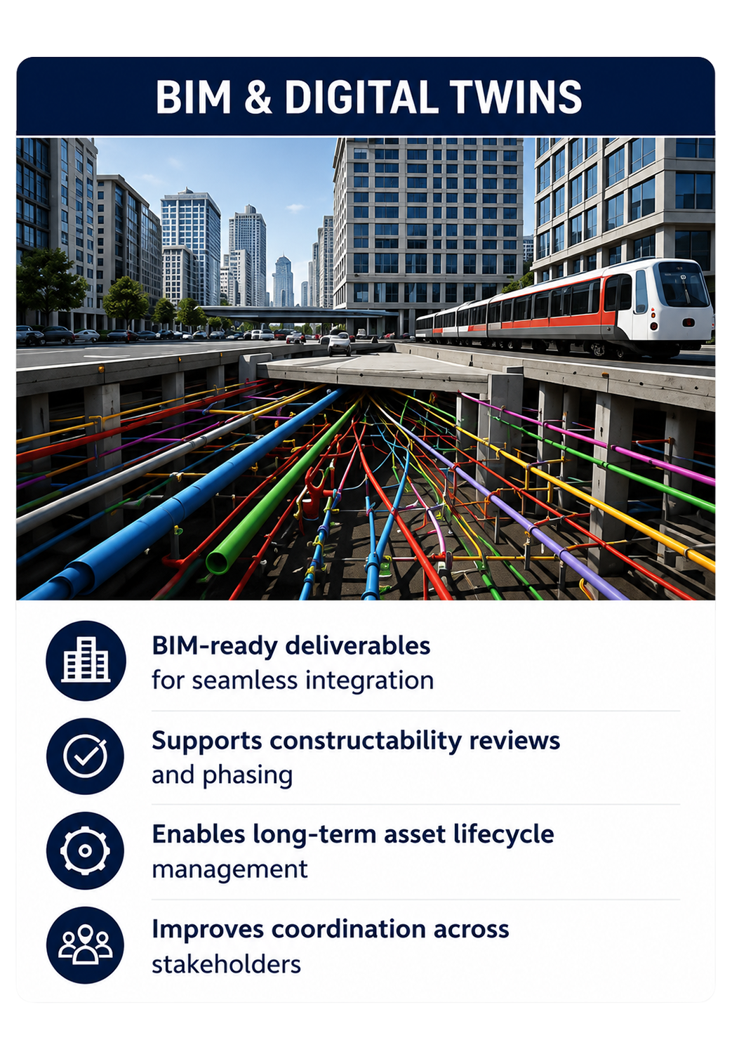
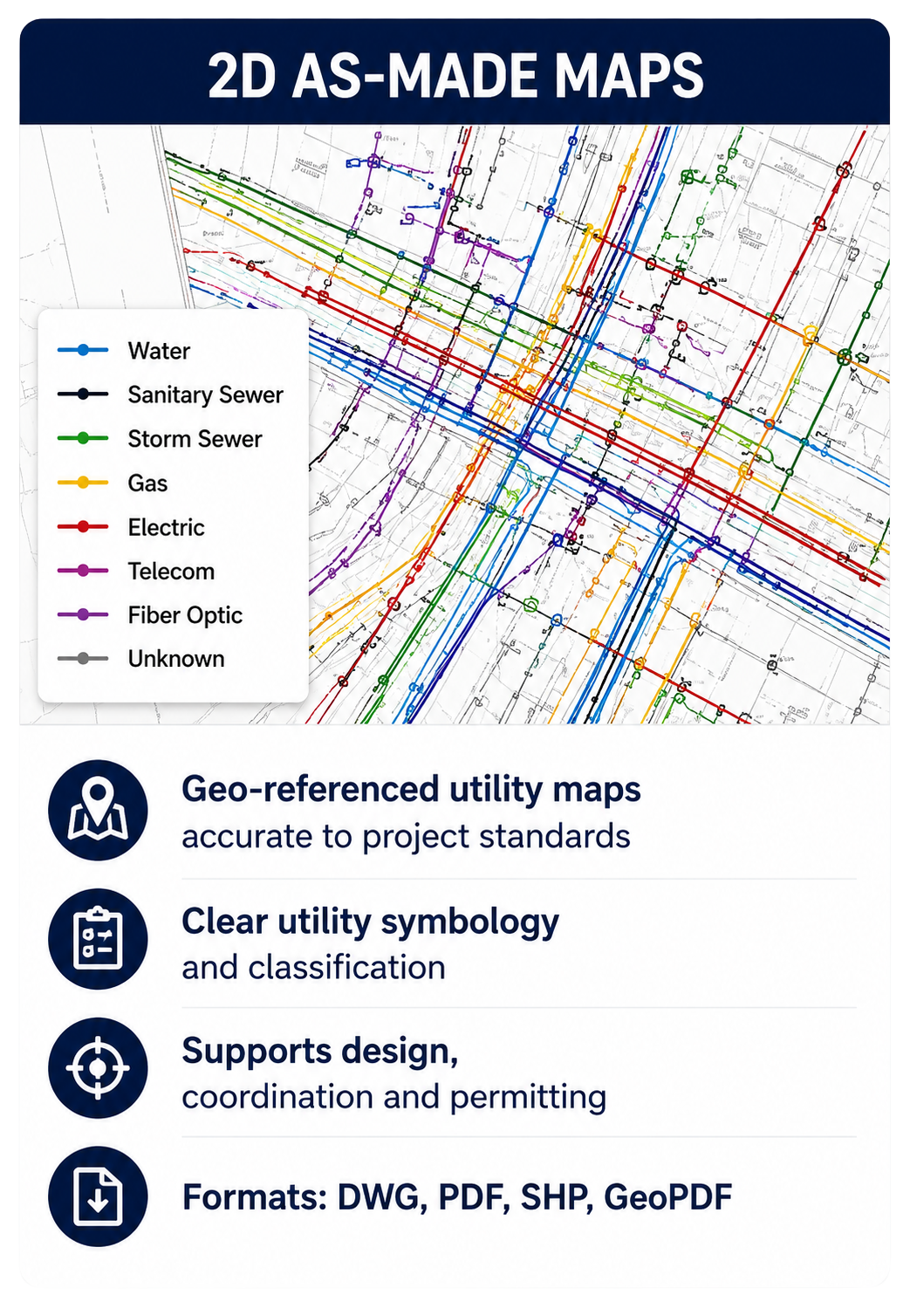
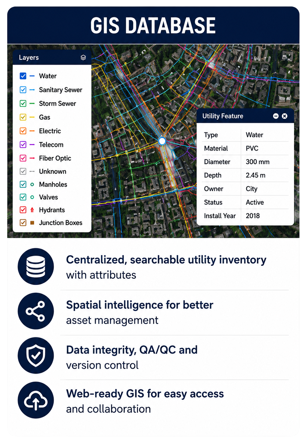
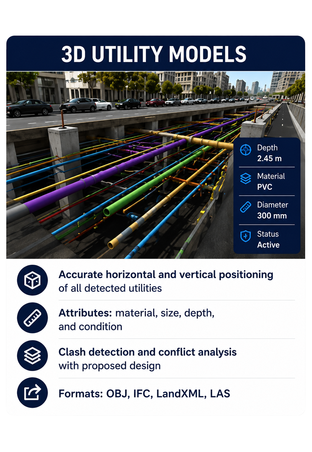
SubsurfaceIQ generates construction-ready deliverables including 2D utility maps, 3D underground models, GIS databases, BIM-compatible datasets, and digital twins. These outputs help infrastructure owners, engineering firms, and public agencies reduce project risk, prevent utility strikes, minimize delays, and establish reliable underground asset intelligence that supports planning, construction, and long-term asset management.
SubsurfaceIQ™
Advanced subsurface mapping and analysis.
Advanced utility detection and underground asset mapping
2D and 3D digital twins with GIS, CAD, and BIM integration
Utility conflict identification to reduce construction risk and delays
Proven methodology deployed across transportation, utility, and infrastructure projects worldwide
Discover how municipalities, infrastructure owners, and engineering teams can gain deeper insight into their assets through intelligent digital solutions. Speak with our specialists and schedule a personalized demonstration.