
MeshCore™
Large Asset Survey & Management.
MeshCore™ helps infrastructure owners inspect, understand, and manage large asset networks faster, safer, and more cost-effectively.
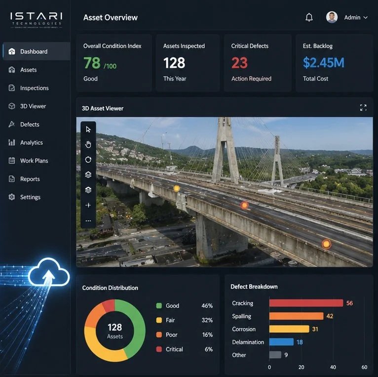
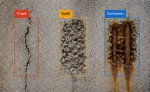
Using drone surveys, LiDAR scanning, imagery, and other reality capture technologies, MeshCore creates detailed 3D digital twins of roads, bridges, rail corridors, utilities, facilities, and other critical infrastructure. Advanced AI analysis, combined with expert engineering review, enables the rapid detection, classification, assessment, and monitoring of defects across large and complex asset portfolios.
By reducing the need for manual inspections and minimizing field exposure, MeshCore improves safety while significantly increasing inspection speed and efficiency. The platform helps organizations identify issues earlier, prioritize maintenance activities, optimize budgets, predict future asset needs, and extend infrastructure lifespan.
lower operating costs
faster decision-making
improved resource allocation
smarter, data-driven approach
Discover how municipalities, infrastructure owners, and engineering teams can gain deeper insight into their assets through intelligent digital solutions. Speak with our specialists and schedule a personalized demonstration.