
RoadSense™
AI Road Inspection
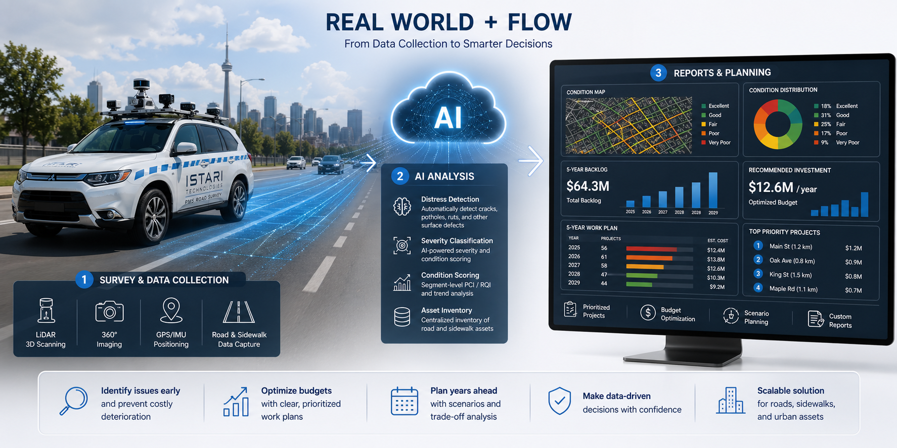
RoadSense™ is an intelligent roadway assessment and asset management solution designed specifically for road and pavement maintenance programs.
Using vehicle-mounted imagery, LiDAR, field survey data, and advanced AI analytics, RoadSense rapidly assesses roadway conditions across entire transportation networks, from small municipalities with vast rural road systems to large urban centres managing dense and complex infrastructure.
The platform automatically detects pavement defects, evaluates roadway conditions, creates comprehensive asset inventories, and predicts future deterioration. This enables transportation agencies to move beyond reactive maintenance and adopt data-driven planning strategies that optimize budget allocation, extend pavement life, and improve overall network performance.
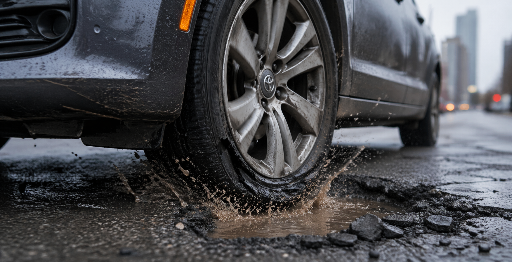
Compared to traditional road surveys, RoadSense delivers faster network-wide assessments, more consistent results, lower inspection costs, and actionable intelligence that supports both immediate maintenance decisions and long-term capital planning.
Discover how municipalities, infrastructure owners, and engineering teams can gain deeper insight into their assets through intelligent digital solutions. Speak with our specialists and schedule a personalized demonstration.